10 types of maps: When to use each and how to build them collaboratively
Explore 10 types of maps and see how platforms like Felt enable smart collaboration, better workflows, and clearer geographic insight.
What is a thematic map: Types and examples
Learn what thematic maps are, how they help visualize data, and how Felt AI makes it simple to create accurate and collaborative thematic maps.
What is OpenStreetMap? Community-powered data for enterprise-grade mapping
Learn how OpenStreetMap enables a global community to create open source maps and reshape how geospatial data is collected and shared.
Carbon credit verification: Why it matters and how it works
Discover how carbon credit verification builds trust, increases transparency, and ensures real impact across global carbon markets.
Key steps for success in real estate site selection
Learn to make smarter real estate site selections by combining data insights with real-world context to choose locations that fit your goals.
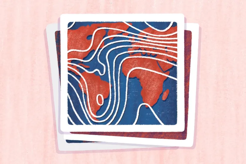
Types of map projections: Guide to reducing distortion
Explore key map projection types and their uses to help you choose the right one for navigation, visualization, and world maps.
Mapping out your Geo Week at AWS re:Invent 2025
Las Vegas in December means AWS re:Invent. We’ve mapped the top sessions and happy hours you don’t want to miss if you’re in geospatial.

Key data center site selection factors for success
Learn the key factors for data center site selection, including infrastructure and scalability, and how to choose the right location for your business.
The 5 best multi-stop route planner tools
Find the best multi-stop route planners for small businesses, discover which standout features to look for, and learn when to upgrade to paid tools.
7 free map APIs compared to Google Maps
Discover the best free map APIs for developers and learn how they compare to Google Maps API to improve your app development projects.
What is geospatial technology? 3 tools transforming businesses
Learn what geospatial technology is, its key components, and how geospatial tools are enhancing decision-making and efficiency across industries.
Geospatial mapping: Definition, how it works, and real-world applications
Learn what geospatial mapping is, how it works, and how it’s shaping industries and future technologies.
Bring your data, see it on the map
Connect a database or drop in a file and see your data live on a map in minutes.