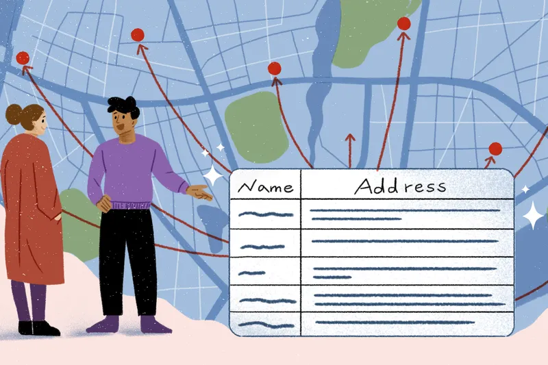
A complete guide to mapping and location software
Discover the best location software tools for mapping, tracking, and data visualization, and learn how to choose the best platform for your needs.
What is geofencing used for? How to apply it to your business
Learn what geofencing is used for, from urban planning to agriculture. Discover unique benefits, risks, and real-world applications in this practical guide.

How to make interactive maps: Steps, tools, and best practices
How to make an interactive map with the right tools, key steps, and expert tips for visualizing data & sharing insights.
Exploring the top Google Maps API alternatives
Explore features, pricing, and customization options for the top Google Maps API alternatives to find the best mapping solution for your project.
How to make a custom Google map: The ultimate guide
How to make a custom Google map in 5 simple steps.
The ultimate guide to mapping out multiple locations
How to map multiple locations in 3 easy steps.
Felt is now an official Databricks partner
We’re excited to announce that Felt is now an official Databricks partner, bringing a more unified approach to spatial analytics on the Lakehouse.
10 map data visualization examples and practical use cases
Explore map data visualization with 10 real-world examples, plus tools and tips to turn spatial data into practical insights for your team and business.

The 8 best mapping software tools for businesses
Explore the best mapping software platforms available and the pros and cons of each. Discover the ideal tool for your team to elevate your analysis and visualization.
What Is geospatial analysis? Definition, key concepts, and applications explained
What is geospatial analysis? Learn the tools, techniques, and real-world applications that turn spatial data into actionable insights.

What Is a GIS? A guide to geographic information systems
Explore what GIS is and learn how visualizing location data can enhance decision-making, efficiency, and cost savings across industries.

We just raised $15M to transform enterprise GIS with AI
We are on a mission to make maps easy for everyone – today marks a huge step forward.
Bring your data, see it on the map
Connect a database or drop in a file and see your data live on a map in minutes.