
Making maps for the San Antonio Spurs
"When it comes to shot maps and data visualization for the Spurs–I’m proud of everything I make."
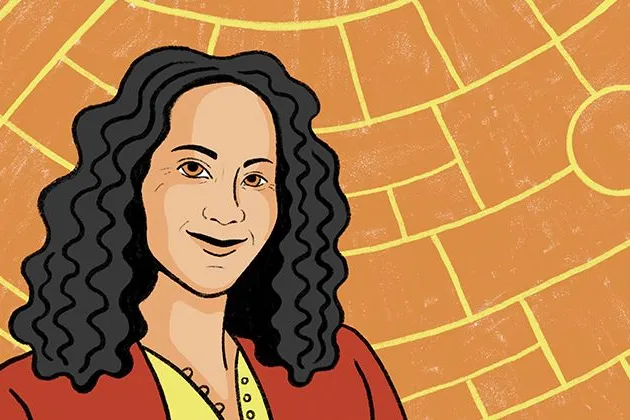
The forefront of diplomacy: making maps at the State Department
We sat down with Brooke Marston to understand what it’s like to work at the nexus of intelligence and diplomacy.
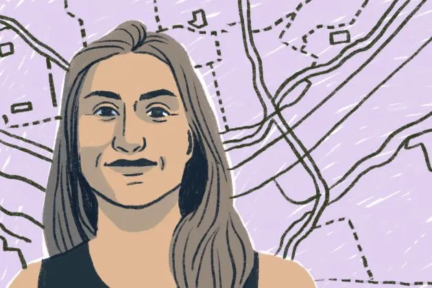
The evolution of map making at National Geographic
For the last decade, Rosemary Wardley has been making maps for National Geographic and accidentally becoming a map-making historian.
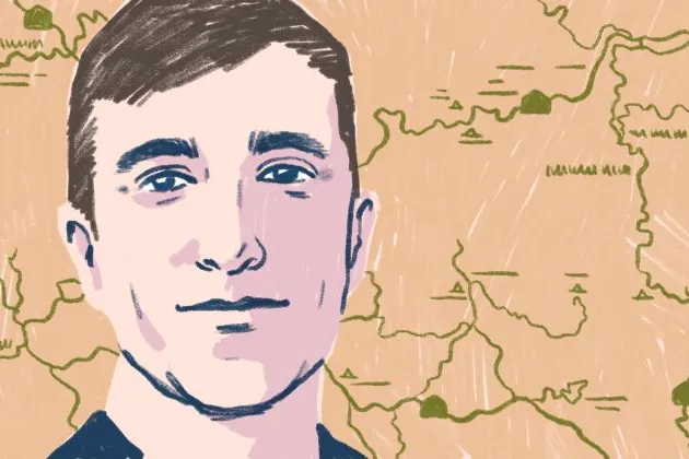
Transforming our National Park maps: a conversation with Nate Irwin
Nate Irwin’s team made our National Parks Service maps digital, transforming the visitor experience for over quarter million annual visitors.

Behind the lines: exposing partisan gerrymandering with PlanScore
We sat down to Mike Migurski, the Executive Director of PlanScore, to understand how gerrymandering works, how drawing lines on redistricting maps has evolved over time and what we can do to make sure we are picking our politicians and not the other way around.
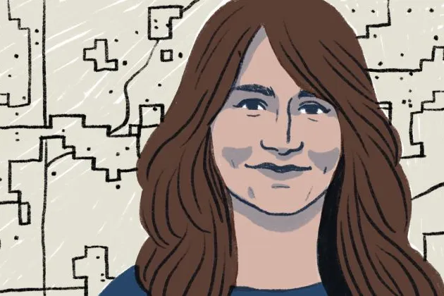
Mapping climate change at the Washington Post
We sat down with Lauren Tierney to understand how she uses her skills to educate readers on some of the most pressing issues of our time.
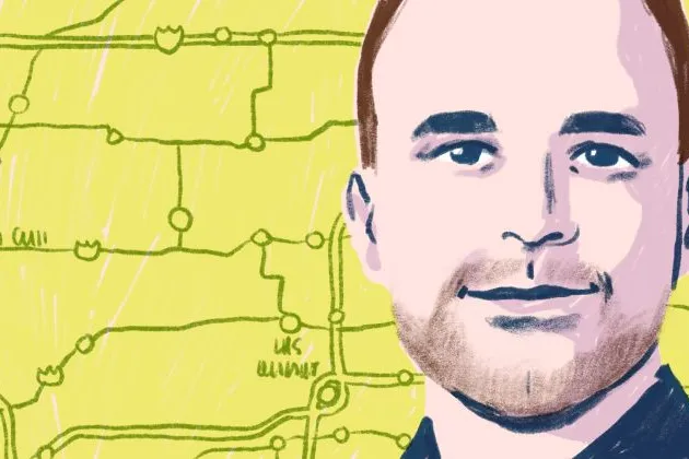
Making maps for the New York Times: the unexpected career of Tim Wallace
Tim Wallace is a senior editor for geography at The New York Times and an Advisor for Felt.
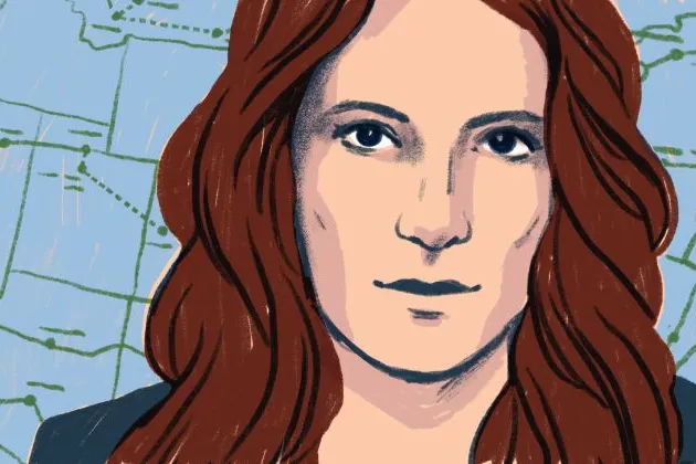
The woman behind that Amtrak map
Michelle Jennings has over a decade of GIS experience. Before joining Felt she was at Amtrak and her map of the 2035 train network went viral overnight.

Inside the cartographic mind of Mamata Akella
Mamata Akella has worked as a cartographer for some of the most transformative geospatial companies across the globe, and now, Felt.
Bring your data, see it on the map
Connect a database or drop in a file and see your data live on a map in minutes.