Deliver spatial intelligence your clients can use
Turn imagery and analysis into interactive maps, apps, and embedded viewers. Felt handles tiling and rendering so your team can focus on the insights and experiences clients pay for.
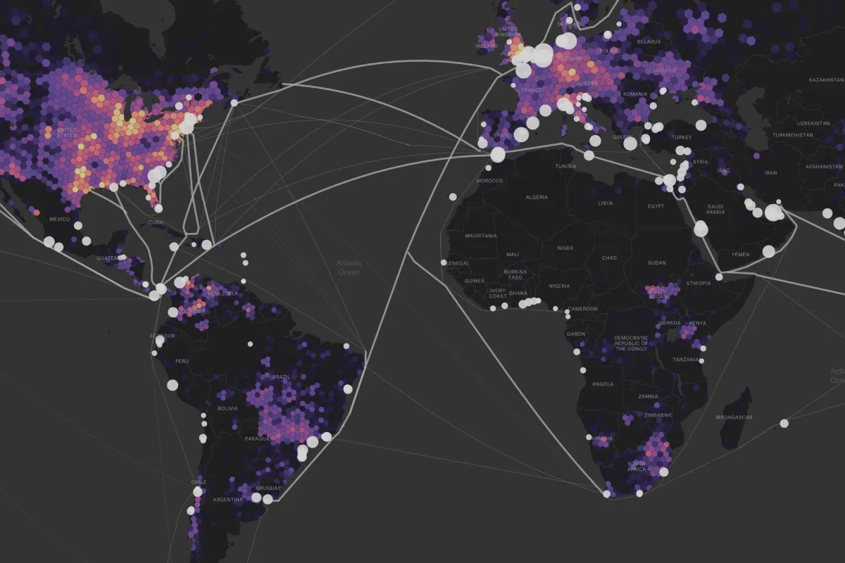
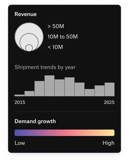






From raw data to a product clients rely on
Connect data from S3, Google Cloud Storage, Azure, or STAC catalogs. Analyze it in the browser and deliver it through your own product, with Felt powering the maps.
Make your imagery easy to explore
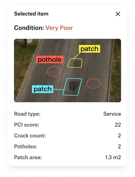
Give clients a clear way to explore your imagery, compare dates, and see changes on the ground. Stream Cloud Optimized GeoTIFFs from your cloud bucket or STAC catalog without copying data, and visualize NDVI and other band indices.
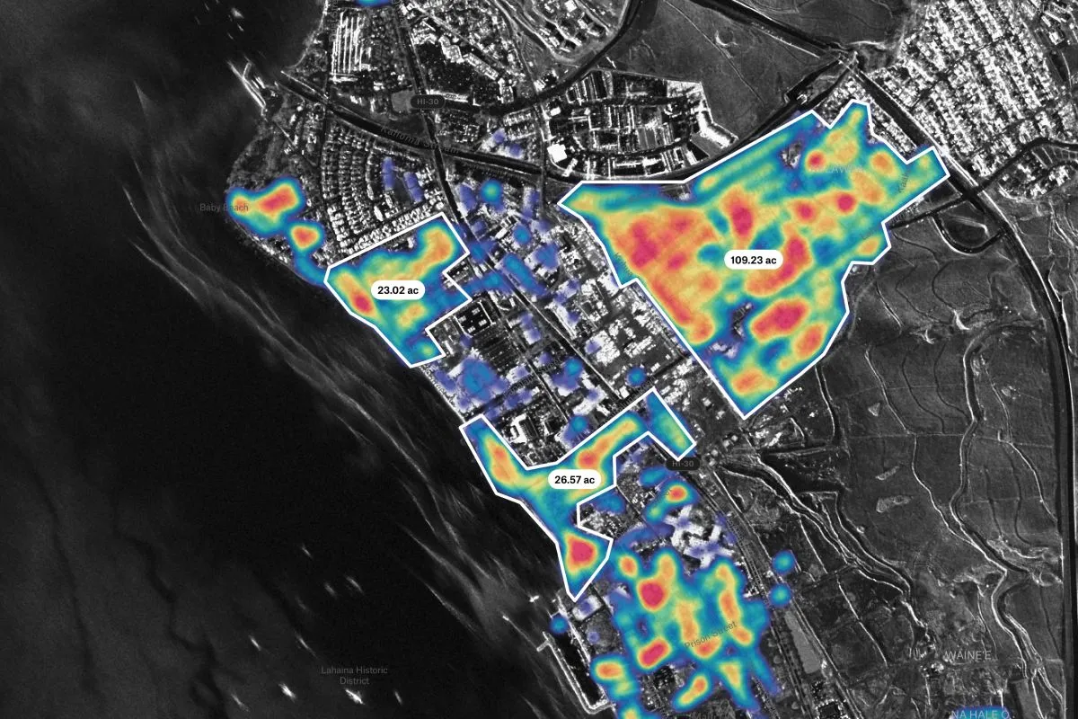
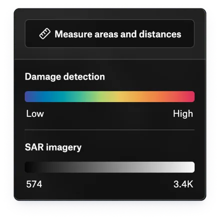
Get from analysis to client delivery faster
Bring pipeline results into Felt with the REST API or felt-python. Sample imagery values onto features, query connected data with SQL, and review results together before delivery.
Build the experience your clients need
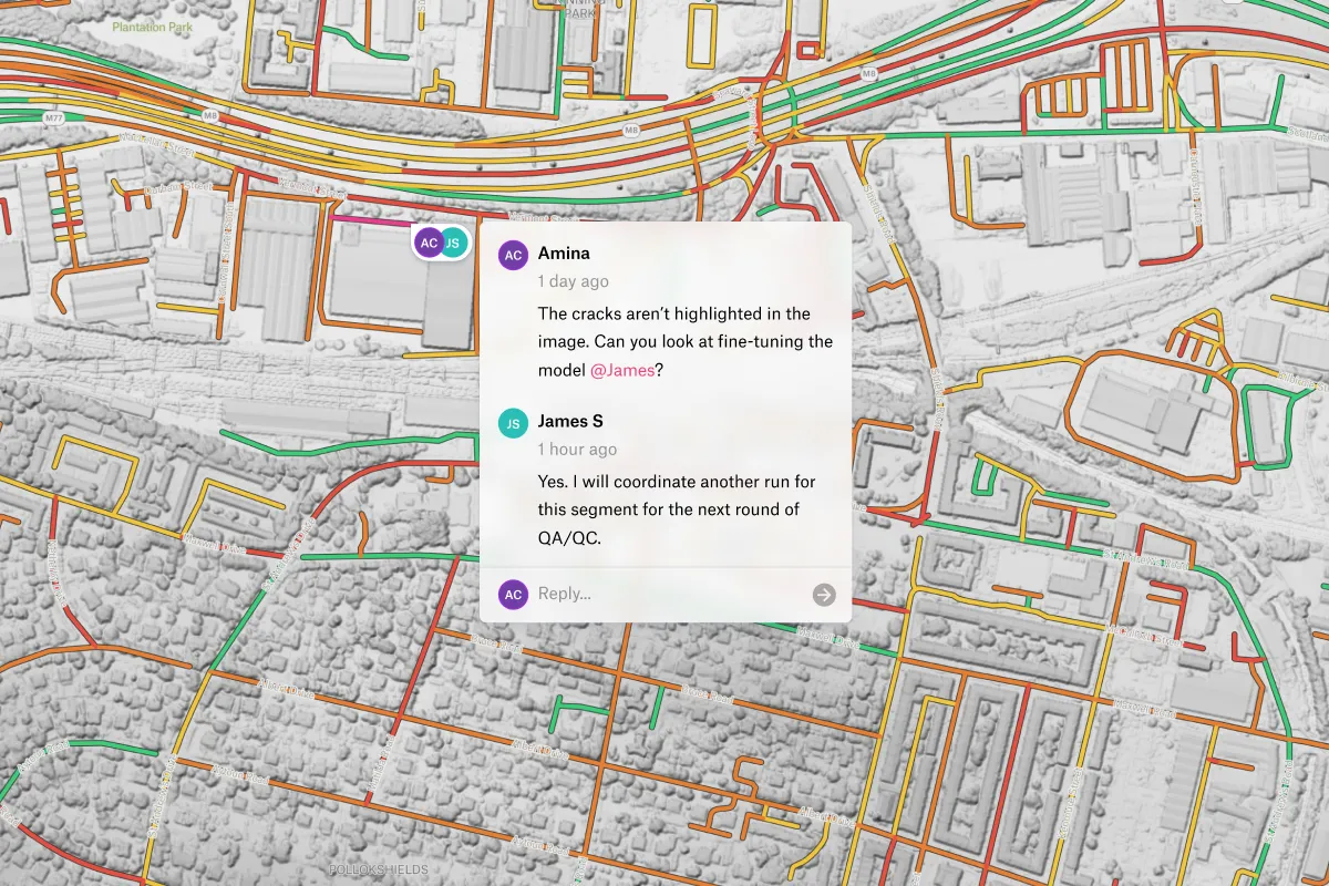
Embed interactive maps in your product and tailor the experience with the JavaScript SDK, or build custom map tools with Felt AI. Authenticated embeds give clients access to private maps without a Felt account.
Proven results for spatial intelligence leaders

Our GIS analysts and software engineers got 20% of their time back when we moved to Felt – that’s huge.

After sharing our Felt dashboard, a client reversed their decision and signed a long-term contract.

For anyone needing to deliver mapping products quickly, I’d be hard-pressed to recommend anything else.

Common questions
- 01Can Felt connect to a STAC catalog of our imagery?
Yes. Felt connects to STAC catalogs and APIs and streams their Cloud Optimized GeoTIFFs without copying them. A bucket without STAC works too: Felt indexes its files by location and metadata.
- 02How do I bring our own imagery into Felt?
Upload GeoTIFFs, raster GeoPackages, or images with a world file up to 100 GB per file, and Felt keeps their coordinate system. For whole collections, stream from your bucket or STAC catalog without copying.
- 03Can we remove the Felt logo from embedded maps?
Yes, on the Enterprise plan. Custom branding hides the Felt logo in embeds and sets your brand color on every map, so client deliverables look like yours.
- 04Can I push data into Felt through the API?
Yes. Automate uploads and layer refreshes with the Felt REST API to keep client maps current as your data changes. Use felt-python to integrate Felt with your existing Python pipelines.
Bring your data, see it on the map
Connect a database or drop in a file and see your data live on a map in minutes.