Mapbox alternatives: Evaluating cost, features, and flexibility for scalable mapping
Explore the best Mapbox alternatives, including open-source and cloud mapping tools, to compare features and pick the right web GIS solution.
8 best field data collection apps and how to choose
Discover the best field data collection apps, key features, and learn how Felt’s Field App simplifies and optimizes field work for your team.
What is spatial data science? Explore real-world examples
Learn what spatial data science is, how it works, and how it differs from geospatial data science and spatial analysis in practice.
Wind direction site analysis: A brief guide
Learn what wind direction site analysis is, explore common methods and real-world use cases, and understand how to run one accurately and efficiently.

What’s trade area analysis? Revealing untapped business opportunities
Learn what trade area analysis is, how to define one, and follow clear steps to identify, evaluate, and expand into new market opportunities.
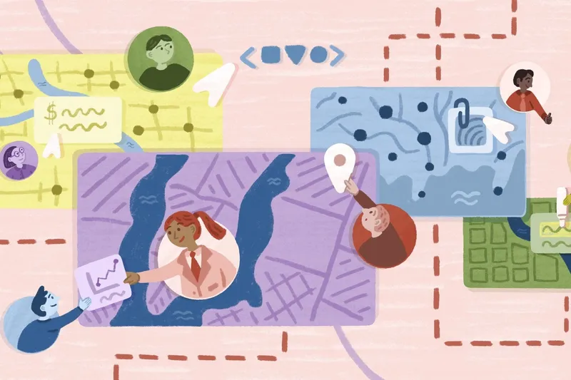
What is utility asset management? Explore use cases and best practices
Learn what utility asset management is, how companies manage assets across industries, and best practices to improve workflows and efficiency.
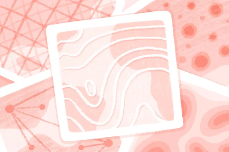
Raster vs. vector maps: Which is the best?
Raster vs vector maps explained: Learn the key differences, strengths, and use cases so you can choose the right format for accurate, effective mapping.

From data collection to actionable maps
Learn how remote sensing and GIS combine to collect, analyze, and visualize spatial data, turning it into actionable geospatial maps and clear, practical insights.
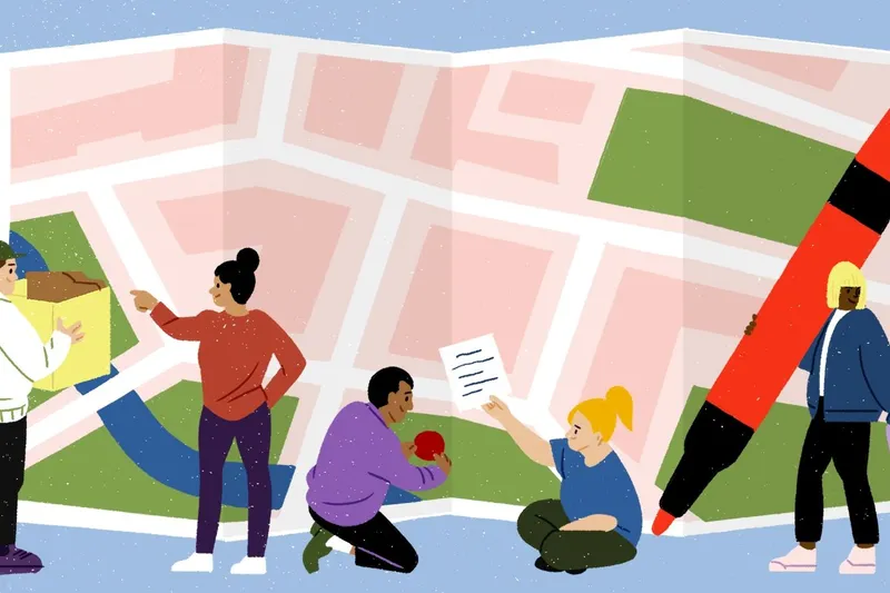
Mapping demographic data in 5 steps
Get a step-by-step guide to mapping demographic data and learn how to make your maps more accurate, reliable, and easy to share with teams in Felt.

Spatial analysis: From detecting patterns to making decisions with reproducible workflows
Use spatial analysis to uncover the patterns and trends behind your data, helping teams make smarter decisions, plan effectively, and understand context clearly.
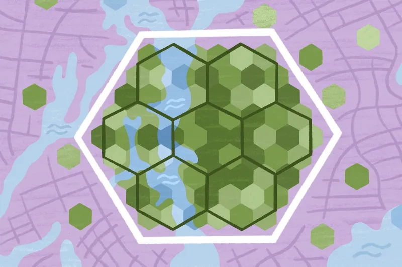
Choropleth maps: Color-coding patterns without misleading your audience
Master choropleth maps with clear best practices that help you visualize geographic data effectively and uncover meaningful spatial patterns.
The 9 top satellite imagery companies
Discover top satellite imagery companies and see how high-res and open-source data shape everything from agriculture and mapping to national security.
Bring your data, see it on the map
Connect a database or drop in a file and see your data live on a map in minutes.