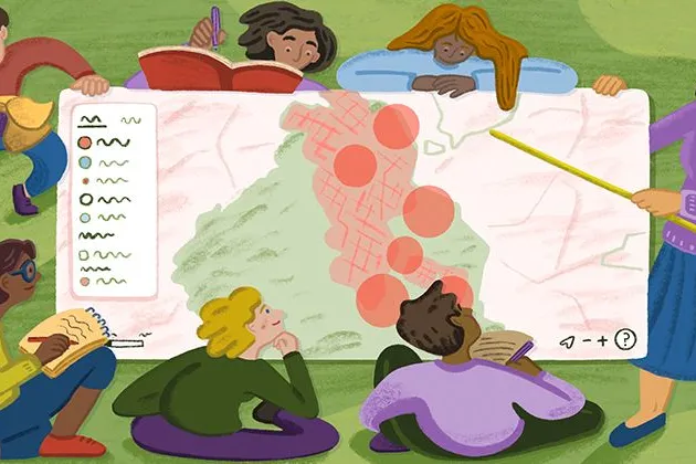
Teaching Spatial Analysis with Felt
Get inspired for the new semester: Felt cartographer Mamata Akella put together a sample exercise for educators who want to teach their students to think spatially.
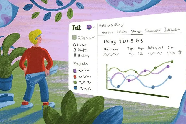
Powerful new admin tools and a streamlined billing experience
Ready for a new year of map-making with improved organization, management dashboards and a straightforward billing flow.
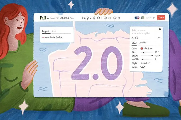
Three key UI upgrades in Felt 2.0
Our release of Felt 2.0 included powerful new spatial analysis tools along a streamlined UI. Here’s a quick review of the UI upgrades we packed in for users.
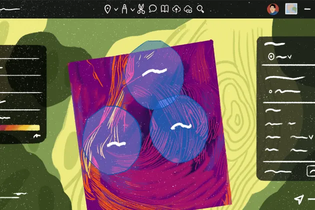
Announcing Felt 2.0 — a better way to work with maps
Introducing Felt 2.0, a new chapter in our mission to make mapping effortless for everyone.
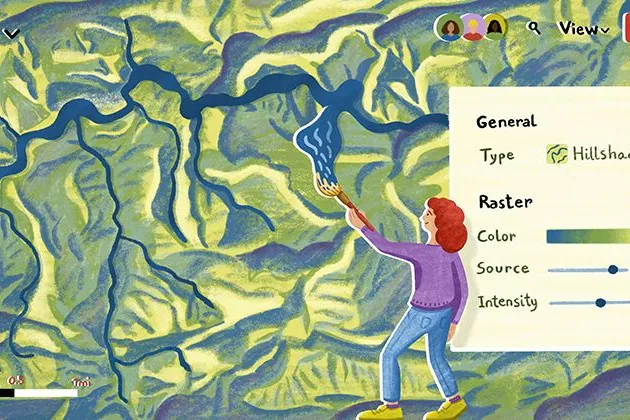
Dynamic styling, hillshades, & raster algebra – Felt’s new raster rendering engine
Felt is on a mission to make mapping effortless for everyone — from pros to the people who work alongside them.

How one engineering firm streamlined client feedback with the 'Add to Felt' QGIS plugin
ICON Engineering, Colorado-based firm specializing in stormwater and transportation engineering, is leveraging Felt and QGIS for getting stakeholder feedback faster.
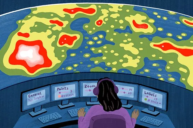
Introducing powerful new cartographic design tools, including heat maps
The most powerfully intuitive cartographic toolkit on the internet has arrived.
July spotlight: 10 best Felt Community maps
Here is how Felts put maps to use lately — from Barbenheimer history to visualizing Overture Maps Foundation data.
June spotlight: 10 best Felt Community maps
Here is how Felts put maps to use lately — from combining all the Tour de France races in one place to trying out new Open in Felt feature.

Felt for advocacy groups: mapping traffic violence in Oakland
Bryan Culbertson and Kuan Butts, two activists working on Traffic Violence Rapid Response, leverage Felt maps to advocate for safer streets in Oakland.
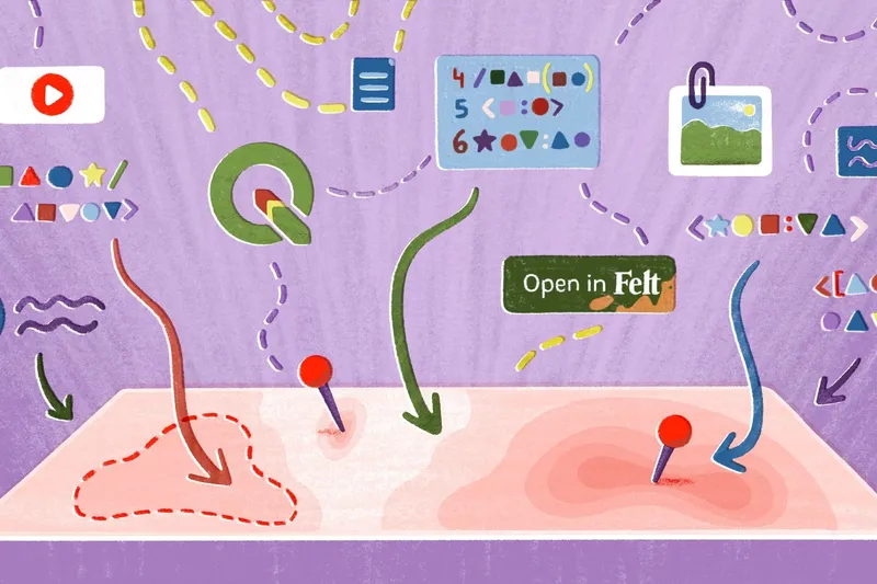
Easily bring data to Felt with our QGIS plugin and the Felt API
Creating collaborative maps is now even faster, with three new ways to bring data directly into Felt: a QGIS plugin, Open in Felt buttons, and the Felt API.
May spotlight: 10 best Felt Community maps
Here is how Felts were putting maps to use lately — from visualizing the impact of wildfires across the West to tracking air pollution in London.
Bring your data, see it on the map
Connect a database or drop in a file and see your data live on a map in minutes.