CartographerFeltCategoryInsurance
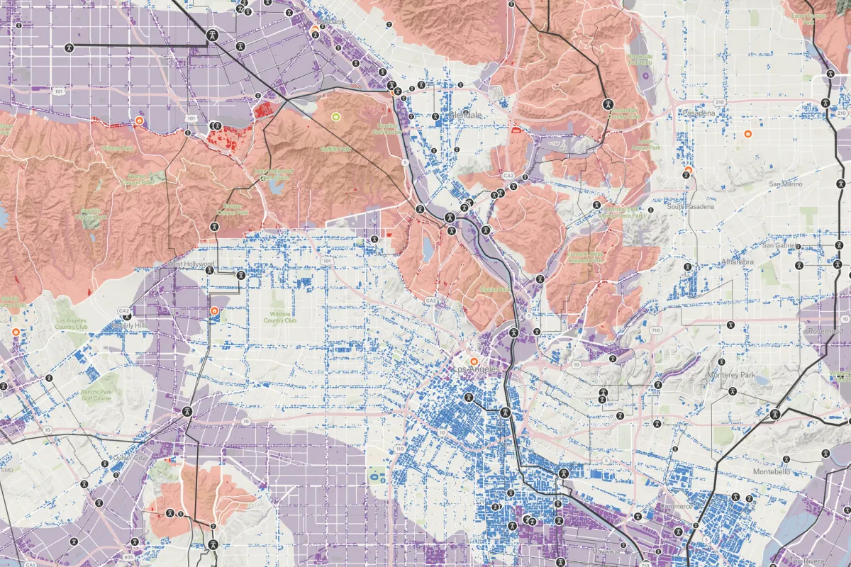
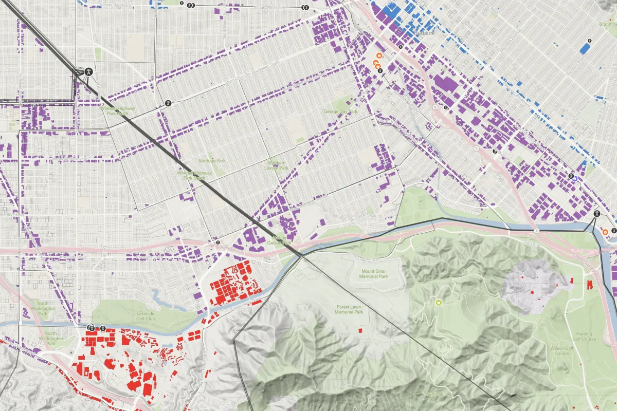
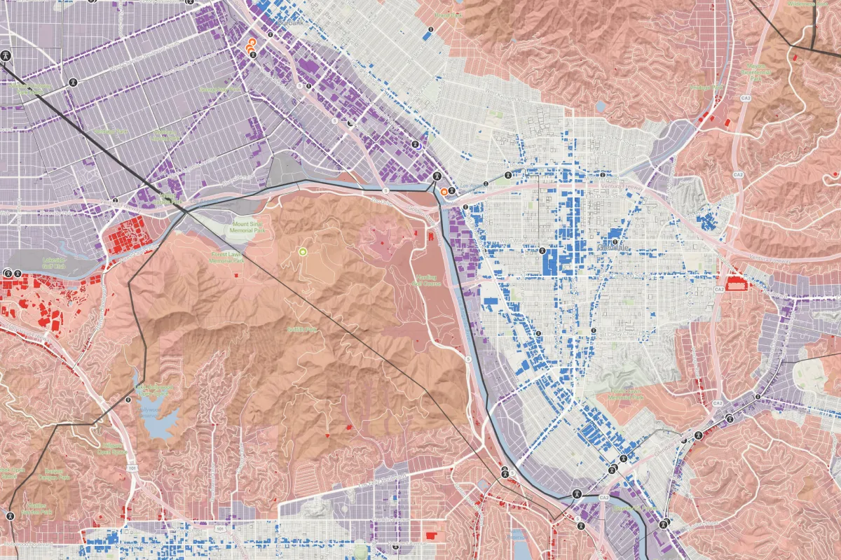
Explore fire hazard severity and liquefaction zones to evaluate exposure patterns and support underwriting strategies.
Explore fire hazard severity and liquefaction zones to evaluate exposure patterns and support underwriting strategies.
Connect a database or drop in a file and see your data live on a map in minutes.