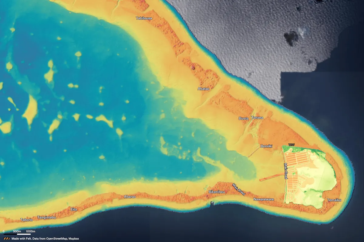
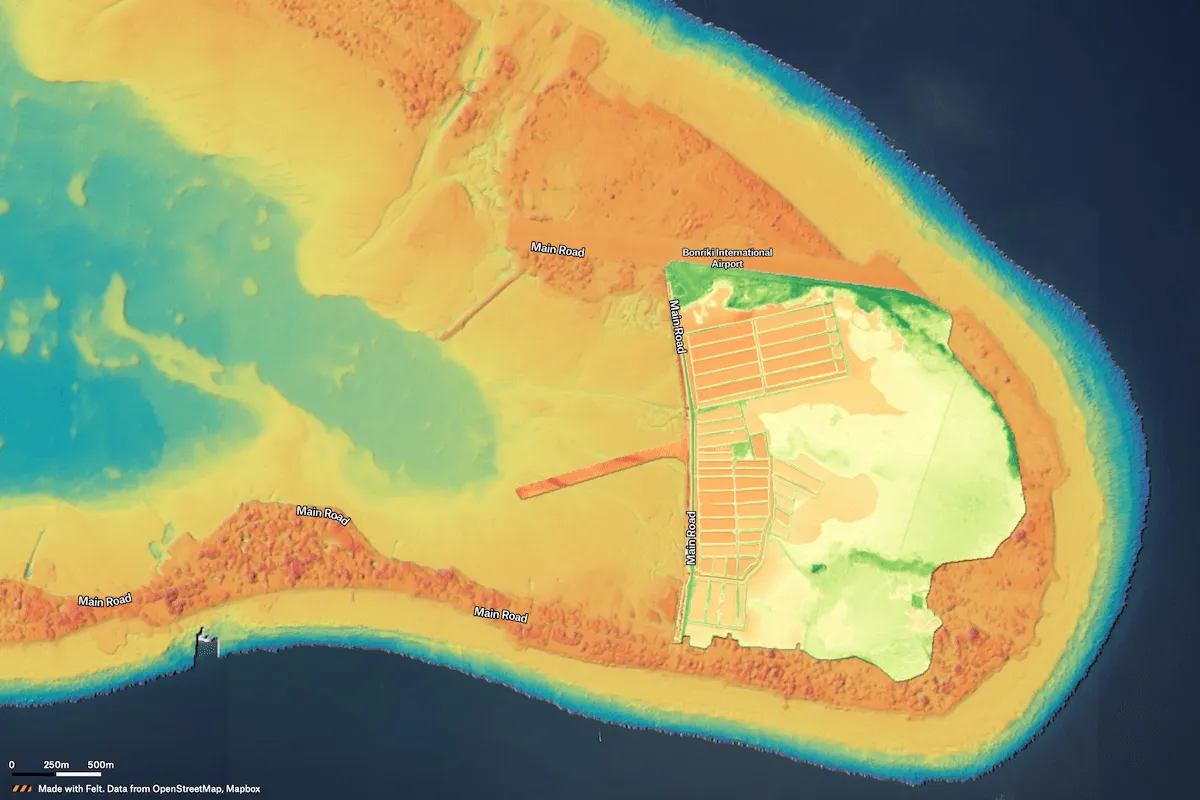
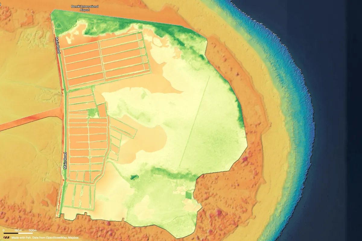
Terrabotics, working for Jacobs Engineering New Zealand, rapidly and accurately surveyed the land topography and shallow water bathymetry around the South Tarawa and Temaiku island atoll, part of the Kiribati Pacific Island nation. Kiribati is threatened by sea level changes, and this project served to help planning for climate resilience programmes on the island. The results were presented to the UN and at COP23.
← Gallery
Climate and natural resources
Oceania Satellite Terrain & Bathmetric Mapping
Terrabotics, working for Jacobs Engineering New Zealand, rapidly and accurately surveyed the land topography and shallow water bathymetry around the South Tarawa and Temaiku island atoll, part of the Kiribati Pacific Island nation. Kiribati is threatened by sea level changes, and this project served to help planning for climate resilience programmes on the island. The results were presented to the UN and at COP23.
Oceania Satellite Terrain & Bathmetric MappingOpen in Felt →
CartographerTerraboticsCategoryClimate and natural resources
More views


Try Felt
Bring your data, see it on the map
Connect a database or drop in a file and see your data live on a map in minutes.
