Skip to content
LAT37.8044° NLON122.2711° WX-13611157 mY4551831 mE564166 mN4184363 mE6050014 ftN2120204 ftBRG041.0°041.0°040.6°042.1°ZOOM11.0CRS
← Gallery
Cities and government

Neighborhood Land Use Comparison

Compare land use and building age across neighborhoods with dynamic summaries.

Preview of Neighborhood Land Use Comparison, an interactive Felt mapExplore this interactive map →
Neighborhood Land Use ComparisonOpen in Felt →
CartographerFeltCategoryCities and government

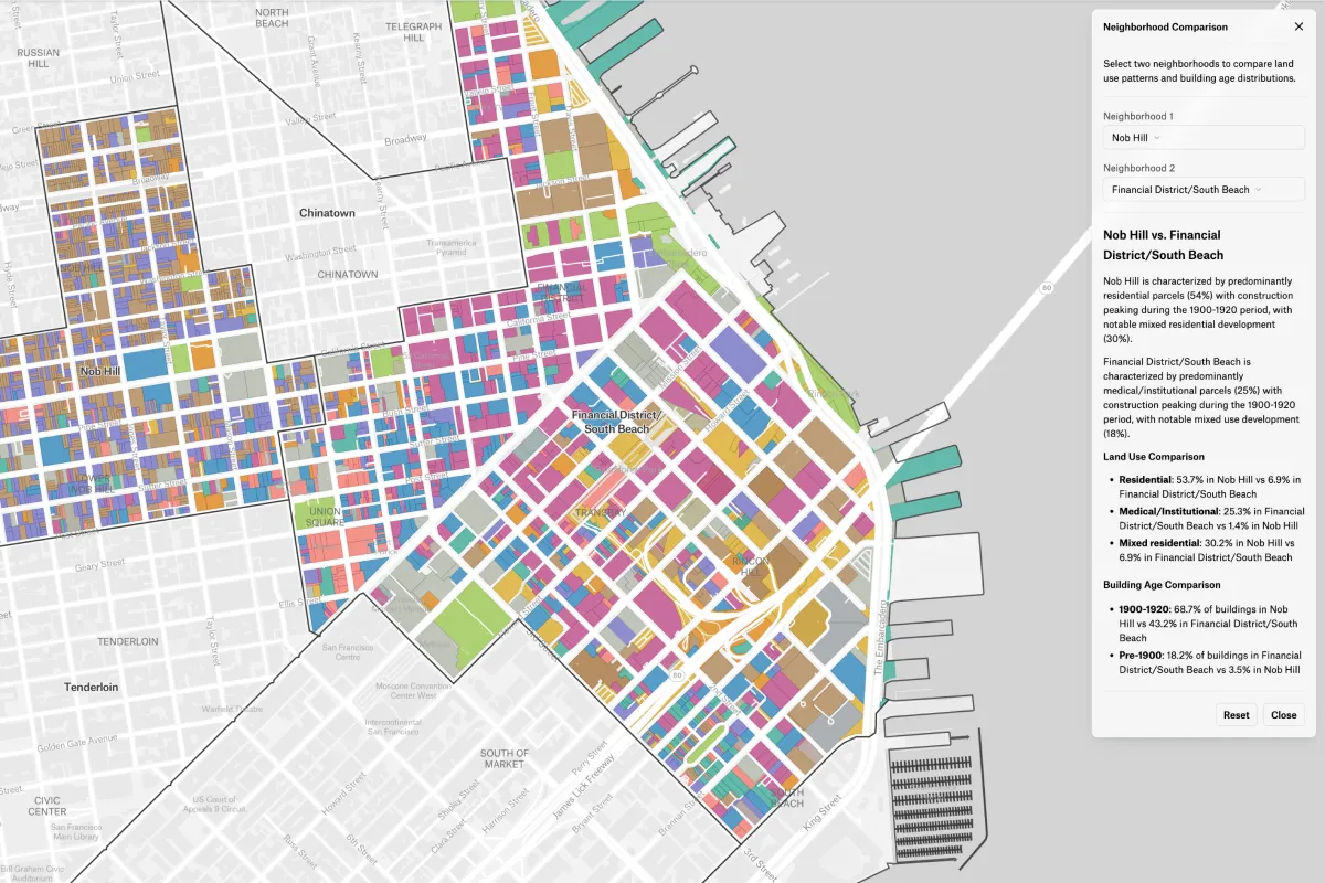
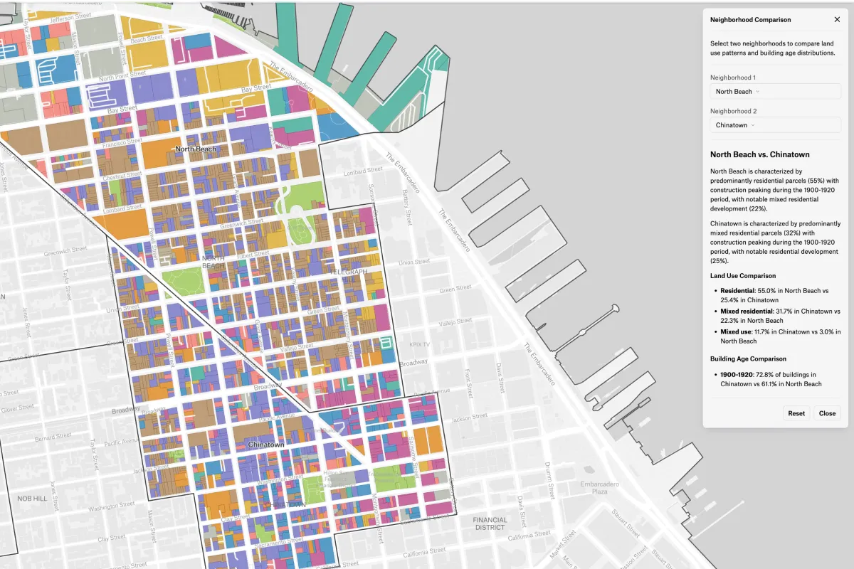
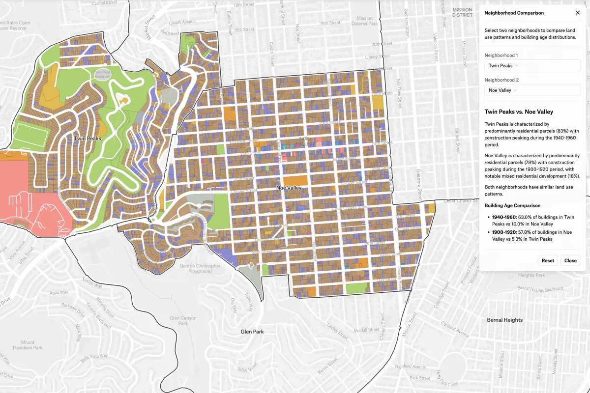
Built with Felt AI and Extensions, this interactive app lets you select and compare two neighborhoods side by side. Explore differences in land use and building age with dropdowns, dynamic summaries, and a fully embedded map experience.
More views

Try Felt

Bring your data, see it on the map

Connect a database or drop in a file and see your data live on a map in minutes.