CartographerFeltCategoryEmergency response
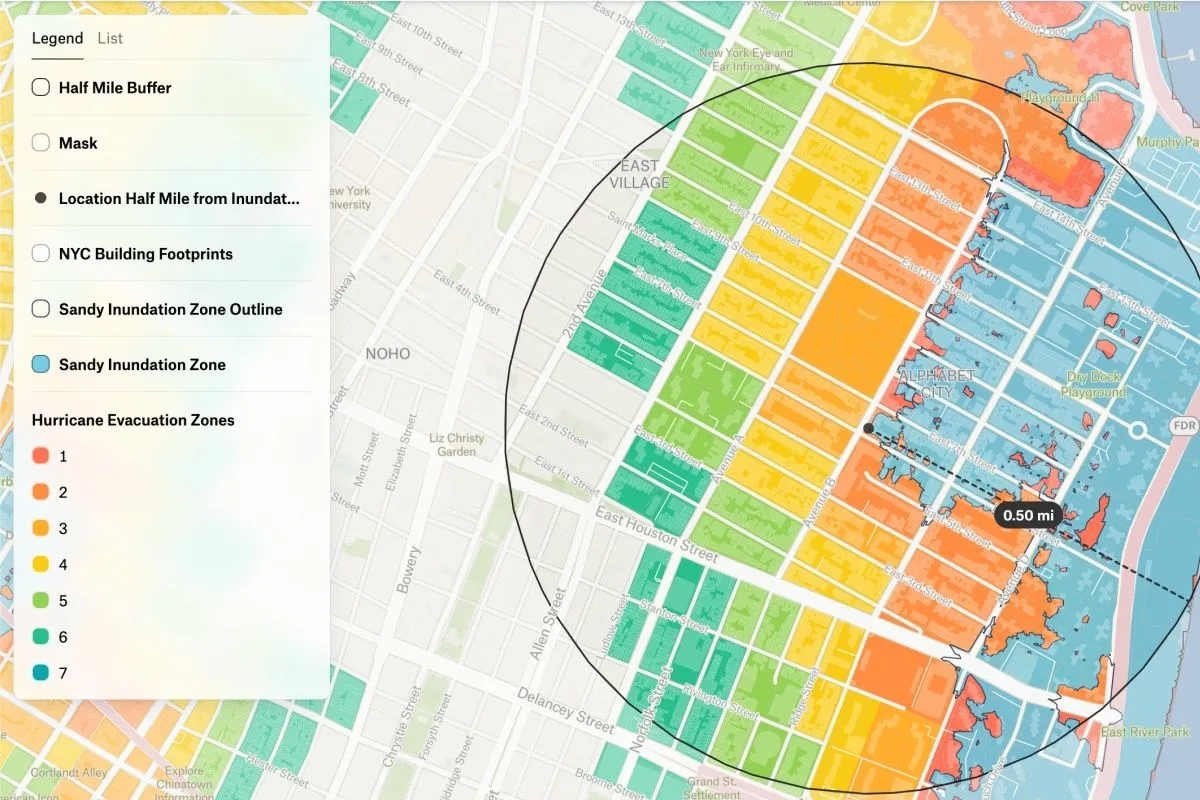
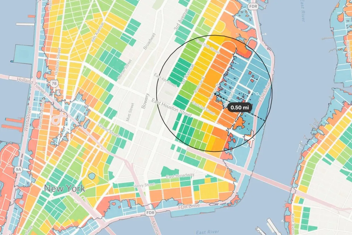
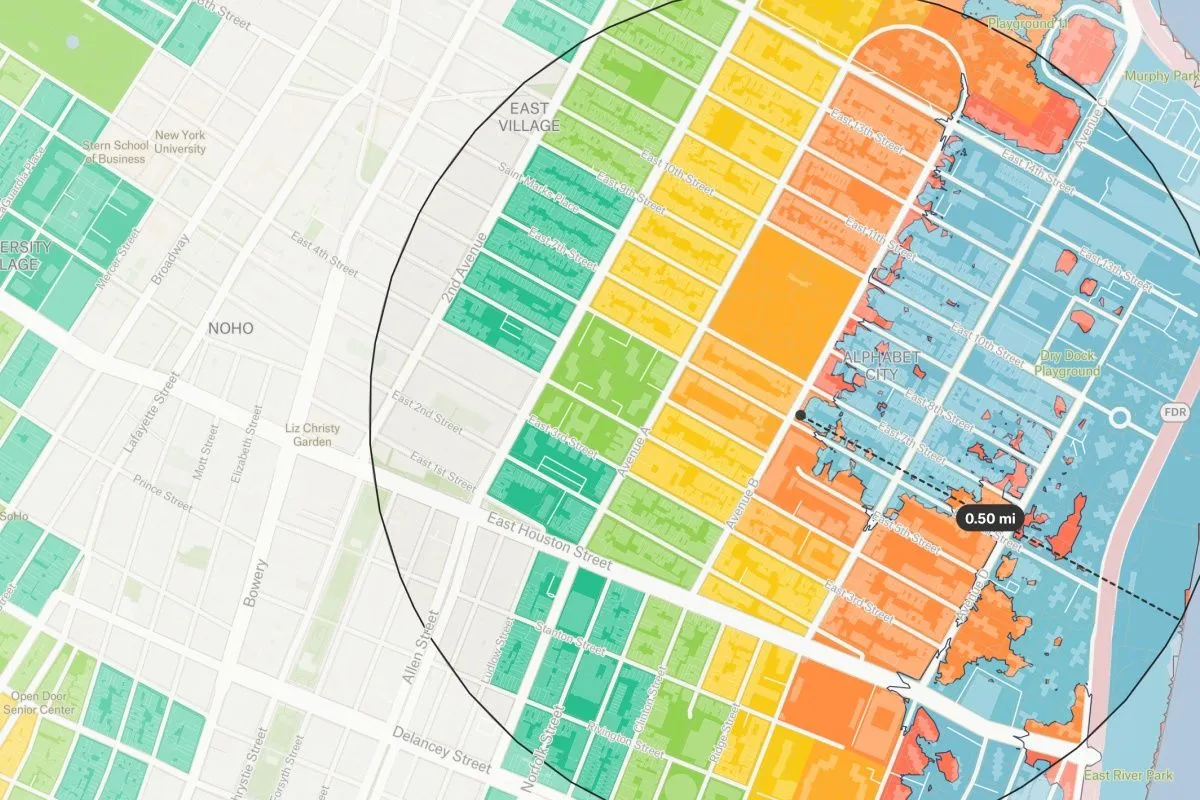
In 2012, Hurricane Sandy hit the Atlantic with full force, leaving behind a trail of destruction. At the time it measured the largest Atlantic hurricane ever recorded, its diameter spanning a whopping 1,150 miles (1,850 km) and its tropical-storm-force winds wreaking havoc across eight countries, from the Caribbean to Canada. The storm caused nearly $70 billion (2012 USD) in damage and tragically took the lives of 233 people. Despite the devastation, the disaster prompted widespread efforts to rebuild and prepare for future storms. This map prompts students to re-examine neighborhoods of New York City impacted by the storm. Duplicate for your own exploration.