CartographerFeltCategoryEnergy and utilities
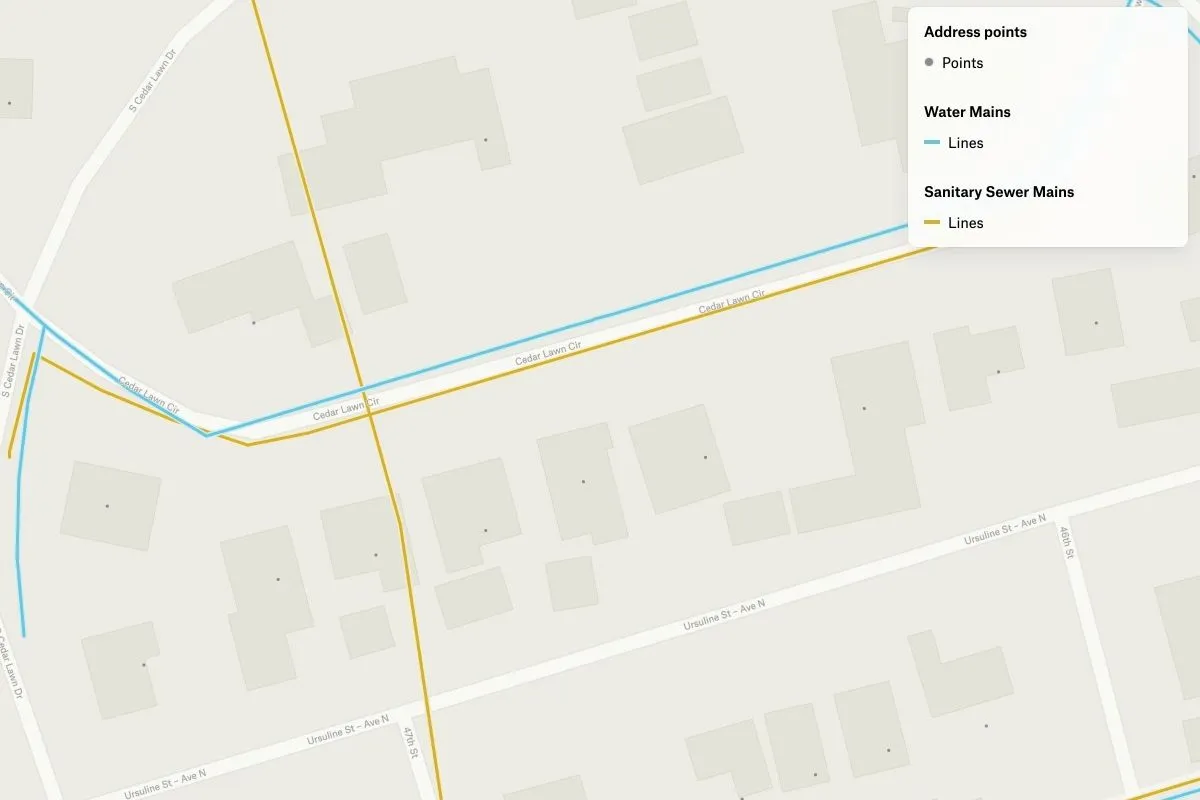
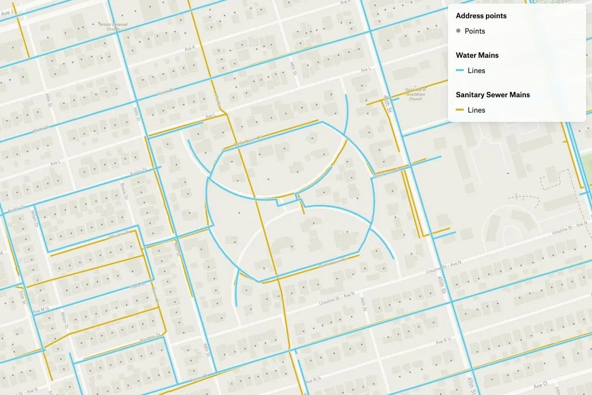
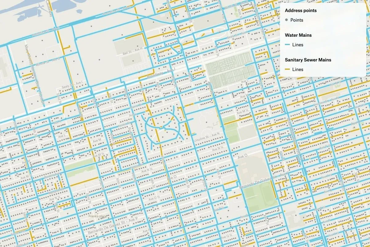
Here is a map depicting the sewer and water mains of the City of Galveston in Texas. The data used to create this map was sourced from the City of Galveston. By visualizing the location of these essential infrastructure elements, residents and city planners alike can gain a better understanding of the layout of the city utilities system. This information can be useful in identifying potential problem areas and planning for future expansion or maintenance needs. Overall, this map provides a valuable tool for anyone interested in the workings of the city’s water and sewage system.