Skip to content
LAT37.8044° NLON122.2711° WX-13611157 mY4551831 mE564166 mN4184363 mE6050014 ftN2120204 ftBRG041.0°041.0°040.6°042.1°ZOOM11.0CRS
← Gallery
Energy and utilities

EV Charging Installation Assessment

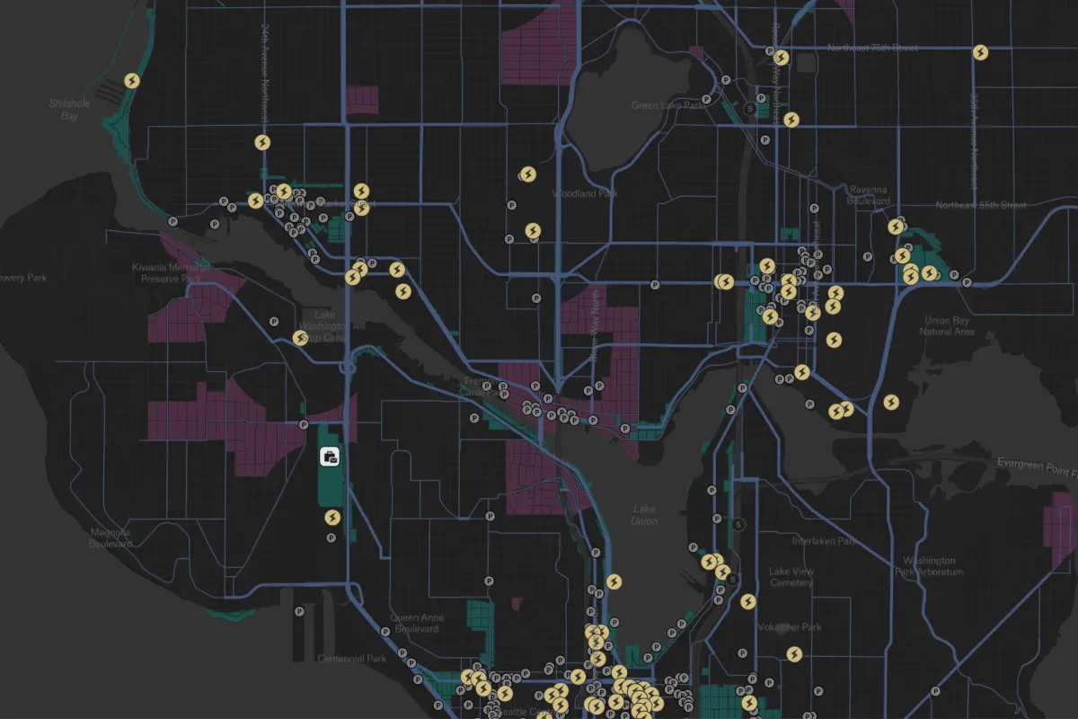
Identify EV charging deserts and pinpoint optimal locations for new charging stations.

Preview of EV Charging Installation Assessment, an interactive Felt mapExplore this interactive map →
EV Charging Installation AssessmentOpen in Felt →
CartographerFeltCategoryEnergy and utilities

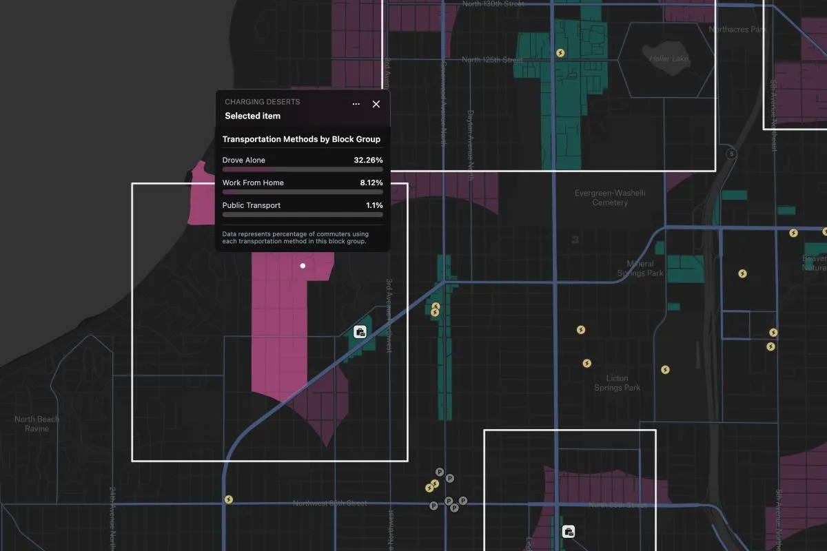
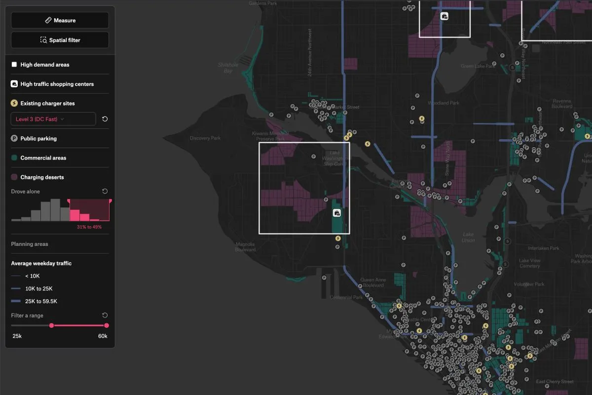
This dashboard identifies EV charging deserts by analyzing traffic patterns, commercial zones, and existing stations to guide strategic infrastructure planning. It helps stakeholders pinpoint optimal locations for new charging stations based on AADT data and commercial development, addressing gaps in the current network.
More views

Try Felt

Bring your data, see it on the map

Connect a database or drop in a file and see your data live on a map in minutes.