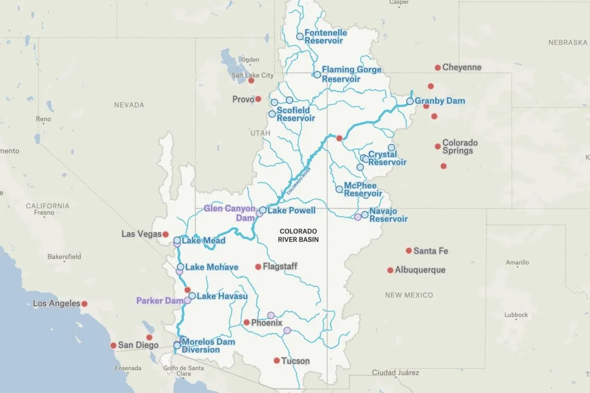
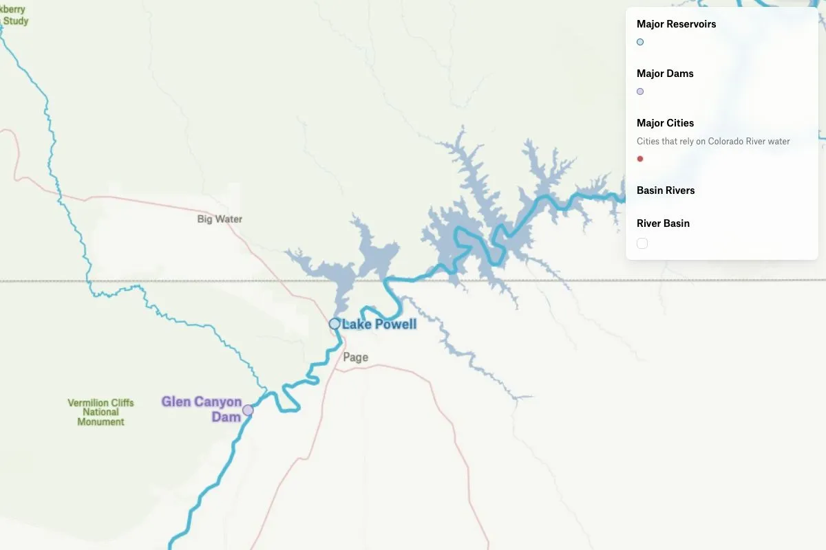
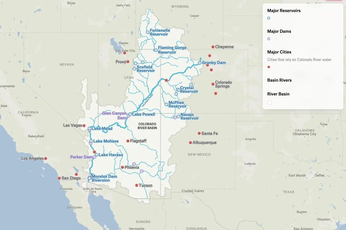
This map utilizes data from the Colorado River Basin GIS Open Data Portal to explore the 250,000 square miles of the Colorado River Basin, including its major reservoirs, dams, and the major cities that rely on it for water.
Colorado River Basin
More views
FAQ
Common questions
01Are there 2 different Colorado rivers?
Yes, there are two distinct Colorado Rivers in the United States. The major one flows through seven western states (Wyoming, Colorado, Utah, New Mexico, Nevada, Arizona, and California) and into Mexico. The smaller Colorado River of Texas flows entirely within Texas, running from the Llano Estacado southeast to Matagorda Bay on the Gulf of Mexico.
02Where does the Colorado River start and end?
The main Colorado River begins in the Rocky Mountains of north-central Colorado, specifically in Rocky Mountain National Park at La Poudre Pass. It flows approximately 1,450 miles southwest through multiple states and historically ended at the Gulf of California in Mexico, though due to heavy water usage, it now often runs dry before reaching the sea.
03How deep is the deepest part of the Colorado River?
The deepest part of the Colorado River reaches approximately 90 feet (27 meters) deep in certain sections, particularly in some of the canyon areas. However, depth varies significantly along its course depending on location, season, and water flow conditions.
Try Felt
Bring your data, see it on the map
Connect a database or drop in a file and see your data live on a map in minutes.