CartographerFeltCategoryInsurance
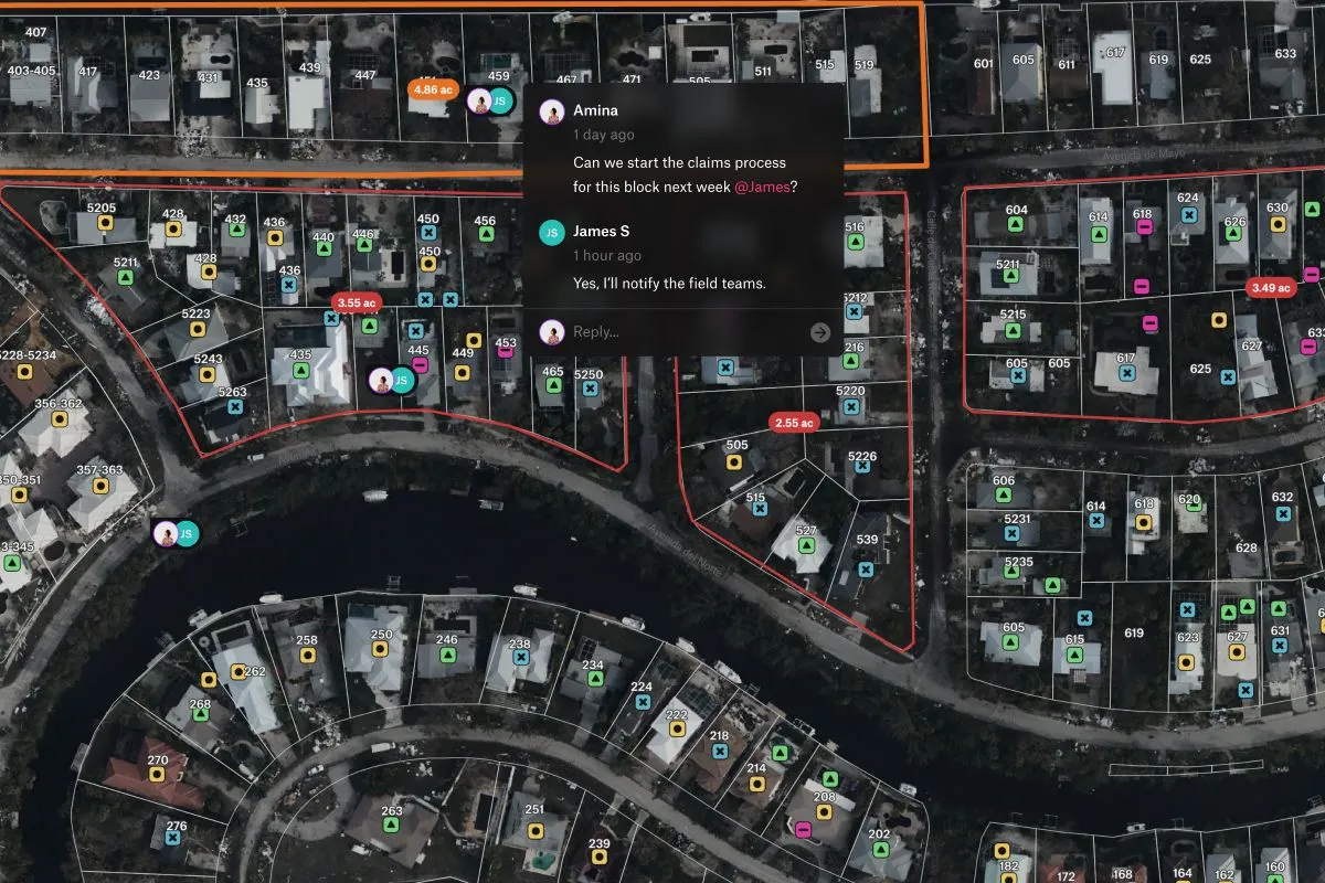
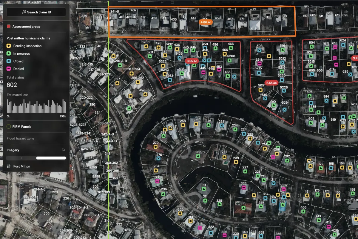
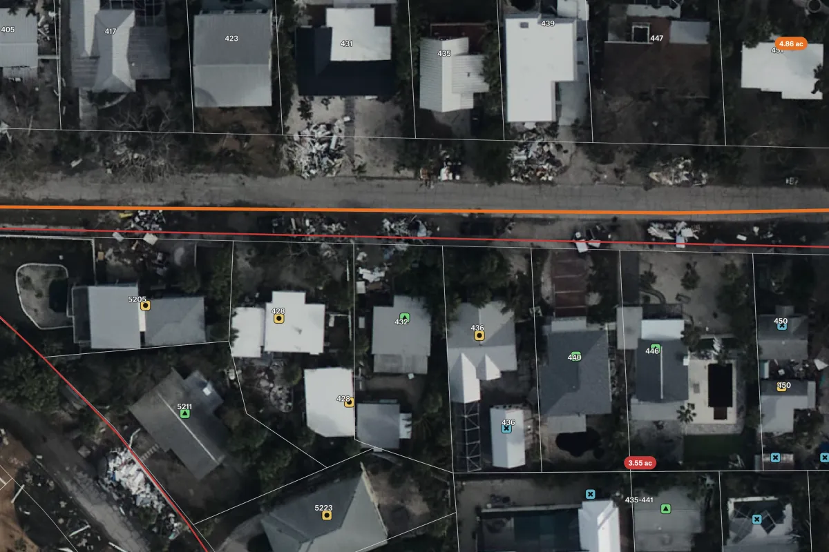
View parcel boundaries, claim status, property details, and post-event imagery to support claim reviews and verification in impacted areas.
View parcel boundaries, claim status, property details, and post-event imagery to support claim reviews and verification in impacted areas.
Connect a database or drop in a file and see your data live on a map in minutes.