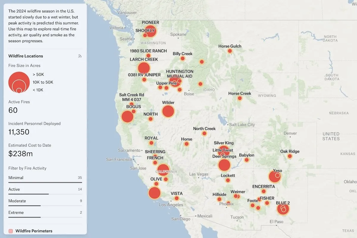
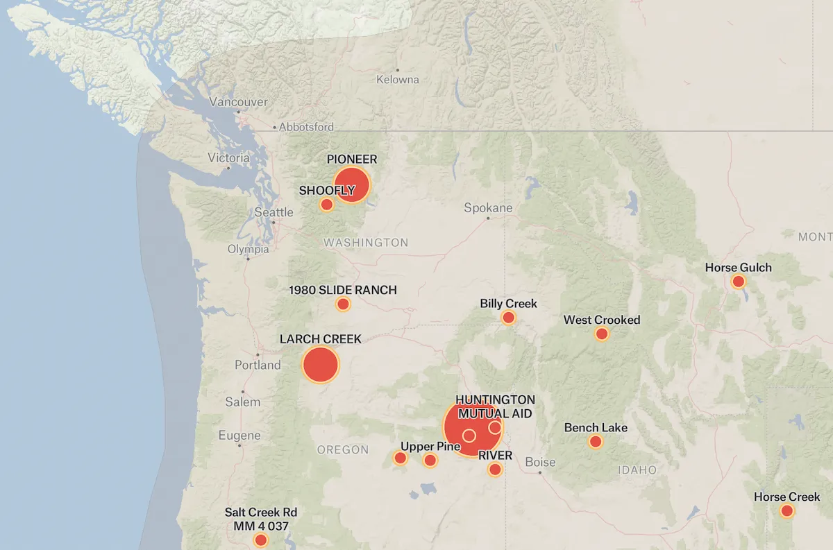
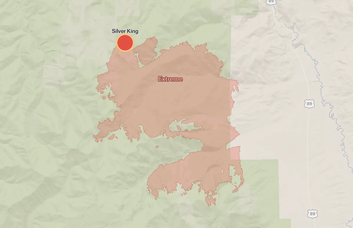
A dashboard that monitors current U.S. wildfires, smoke activity and air quality using live sources from the National Interagency Fire Center and the National Oceanic and Atmospheric Administration.
Wildfires are becoming more and more common across the globe and their existence can have a severe impact on air quality. This dashboard monitors current U.S. wildfires, smoke activity and air quality using live sources from the National Interagency Fire Center and the National Oceanic and Atmospheric Administration.
Active Wildfires in the U.S.
More views
FAQ
Common questions
01How are wildfires mapped?
Wildfires are mapped using a combination of satellite imagery (including NASA and NOAA satellites), aerial surveillance from aircraft and drones, ground reports from firefighters, infrared detection systems that identify heat signatures, and GPS technology. This data is compiled into real-time mapping systems that show fire perimeters, intensity, direction of spread, and threatened areas.
02What is the best wildfire tracker?
Several highly regarded wildfire trackers include: InciWeb (official incident information system), the NIFC (National Interagency Fire Center) Active Fire Mapping Program, NASA’s FIRMS (Fire Information for Resource Management System), Cal Fire’s incident map for California, and various apps like Watch Duty. The "best" depends on your location and needs, though government sources like InciWeb tend to be most authoritative.
03What is causing forest fires?
Forest fires are caused by a combination of factors including human activities (campfires, discarded cigarettes, power lines, arson), natural causes (lightning strikes), and increasingly, climate change conditions that create more favorable fire conditions through prolonged droughts, higher temperatures, earlier snowmelt, and drier vegetation. Poor forest management and decades of fire suppression that allowed fuel buildup also contribute.
Try Felt
Bring your data, see it on the map
Connect a database or drop in a file and see your data live on a map in minutes.