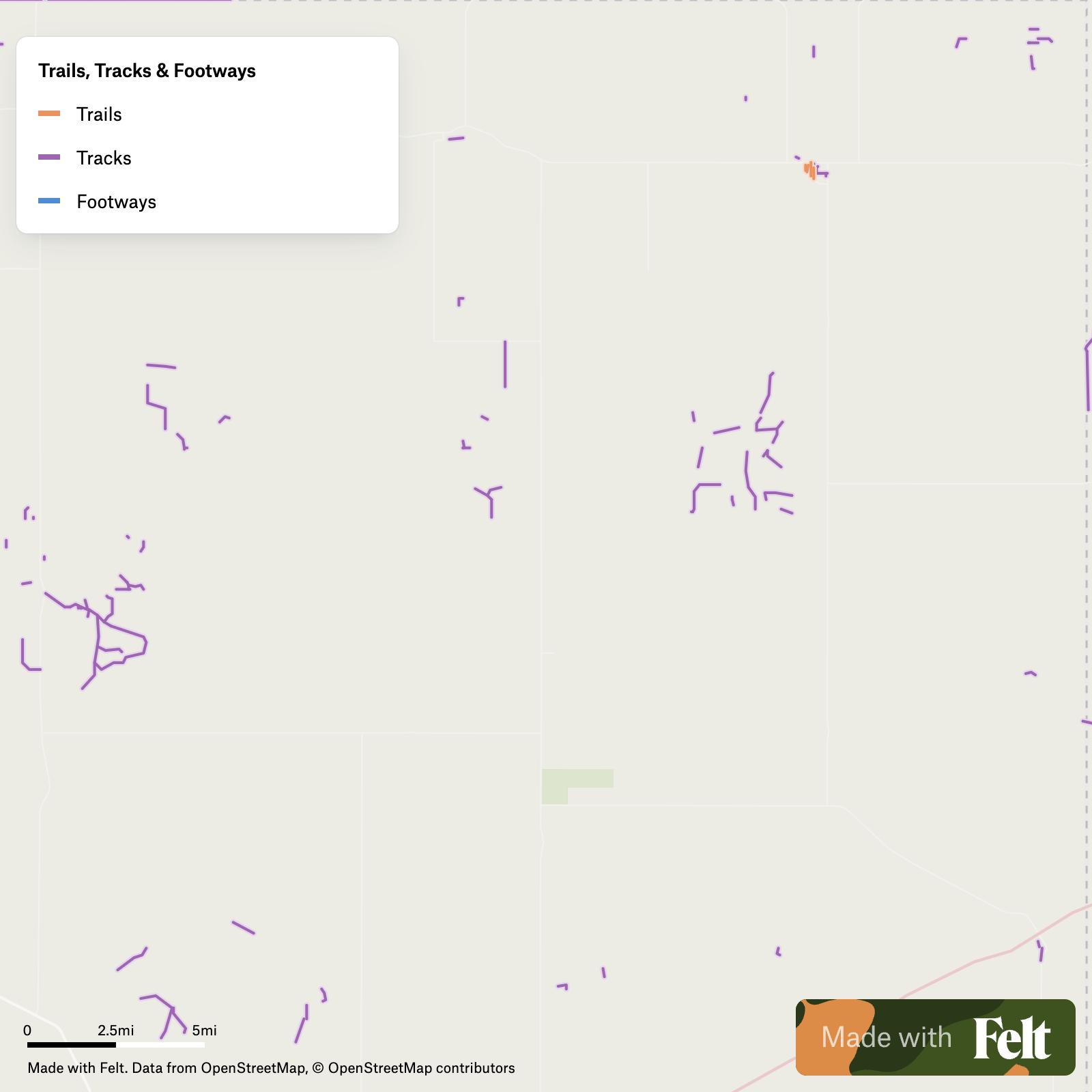
Trails, tracks & footways in Tulsa County, Oklahoma
836 trails, tracks, and footways in Tulsa County, Oklahoma, featuring data on surface types and bicycle access, ideal for urban planning.

Make this map yours
Open it in Felt to style, filter, and analyse the data, or export it as a GeoPackage.
Open the map →Customize this map freeAbout the map
Access the comprehensive compilation of trails, tracks, and footways in Tulsa County, Oklahoma, tailored to enhance your GIS projects. This dataset includes detailed attributes for 836 paths, including Oakland Street, East 91st Street, and more. Each entry provides insights into features like the surface type—ranging from asphalt to gravel—and amenities such as lighting and bicycle suitability. Ideal for urban planning and recreational development, these datasets offer precise data on usage specifics and infrastructure, aiding in accurate mapping and analysis.
Highlighted within the Trails, tracks & footways in Tulsa County, Oklahoma dataset are features including:
- Oakland Street
- East 91st Street
- South Lewis Avenue
- Jenks Riverwalk
- Riverparks East Bank Trail
- Riverside Parkway
- River Spirit Trail
- LaFortune Trail
- South Toledo Avenue
- East 54th Street
- Joe Creek Trail
- South 116th East Place
- South 116th East Avenue
- South 114th East Avenue
- East 17th Place
- East 13th Street
- South 117th East Avenue
- Flanagan Way
- South 93rd East Place
- East 4th Terrace
- East 4th Street
- North Birmingham Avenue
- East Pine Street
- North Peoria Avenue
Upon completion of your Felt account setup, access your dedicated interactive map displaying Trails, tracks & footways in Tulsa County, Oklahoma. Employ various tools for customization, analysis, and seamless GeoPackage data export. Moreover, dive into our extensive repository of pre-established GIS data, housing numerous supplementary datasets crafted for Tulsa County, Oklahoma.