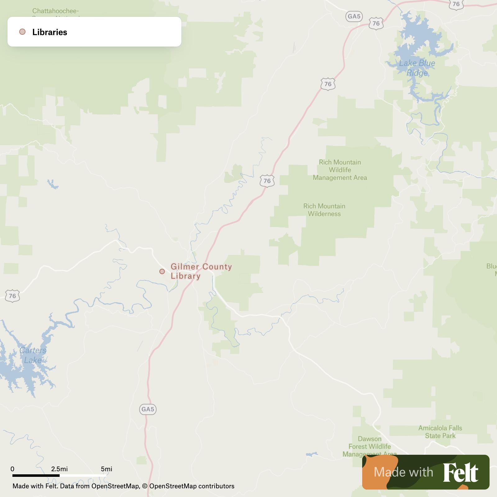
Trails, tracks & footways in Gilmer County, Georgia
162 trails, tracks, and footways in Gilmer County, Georgia, await your GIS analysis, featuring routes like South Fork and Pinhoti Trail. Ideal for outdoor and recreational planning.

Make this map yours
Open it in Felt to style, filter, and analyse the data, or export it as a GeoPackage.
Open the map →Customize this map freeAbout the map
Access a comprehensive dataset of trails, tracks, and footways available in Gilmer County, Georgia tailored for GIS professionals managing outdoor and recreational projects. This dataset contains detailed attributes of 162 features including popular routes like the Pinhoti Trail, Benton MacKaye Trail, and South Fork. Each entry provides specifics regarding bicycle and horse accessibility, indicating whether these trails support different types of user activities. With this precise data, professionals can efficiently plan and manage recreational infrastructures across this scenic region.
The Trails, tracks & footways dataset for Gilmer County, Georgia encompasses features such as:
- South Fork
- Pinhoti Trail
- Benton MacKaye Trail
- Rough Ridge
- Conasauga River Trail
- Tearbritches
- Panther Creek
- East Cowpen
- River Loop Trail
- Riverside Park Trail
- Riverside Swinging Bridge
- Tatum Lead OHV
- Rock Creek ATV, Tatum Lead OHV
- Rock Creek
- Cohutta Overlook
- Bear Creek
- Barnes Creek
- Bear Creek Spur
- Mountaintown Creek
- Chestnut Lead
- Milma Creek
- Tibbs
- Emery Creek Trail
- Lake Conasauga
Once you have signed up for your Felt account, you will be have your own interactive map of Trails, tracks & footways in Gilmer County, Georgia. From there, you can style, filter, inspect, transform and export your revised data in GeoPackage format. You will also have access to our comprehensive library of ready-made GIS data, including many more datasets for Gilmer County, Georgia.